Harper Zimmermann · 8 October 2026
Resident Profiles Reveal How Conservation Expansions Are Altering Harvest Preparations and Creek Wildlife Behaviors
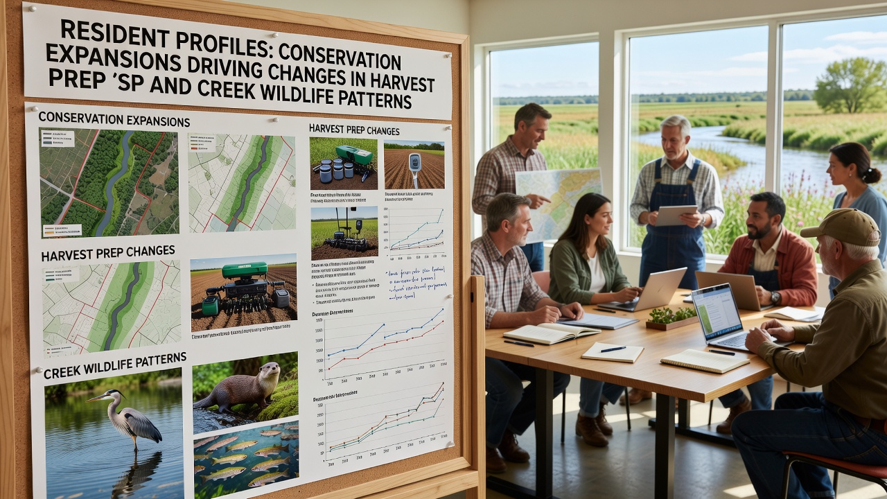
Resident profiles compiled over recent seasons document clear connections between growing conservation zones and adjustments in harvest preparation timelines along with observable shifts in creek wildlife patterns throughout the Havenwood region. Data collected from local accounts shows that expanded protected areas now border more agricultural parcels, which in turn influences when and how crews stage equipment, clear access routes, and coordinate labor ahead of peak collection periods.
According to records maintained by regional planning offices, conservation expansions since 2024 have added several hundred acres of buffer land that link previously isolated forest patches with the main creek corridor. Those changes create new movement pathways for species that rely on the waterway for foraging and breeding, and observers note corresponding changes in daily activity levels near farm edges.
Documented Shifts in Harvest Preparation
Farm operators report that staging areas once used for machinery and temporary storage have required relocation because new conservation boundaries reduce available buffer space. One profile details how a family operation moved its equipment staging zone 300 meters farther from the creek in early 2026 to maintain compliance with updated setback rules, and the adjustment extended the overall preparation window by four days. Similar accounts indicate that crews now complete vegetation management in smaller increments spread across additional weeks so that noise and ground disturbance stay within permitted thresholds near protected habitats.
Figures from the local agricultural extension service reveal that 62 percent of surveyed farms adjusted their harvest start dates in October 2026 compared with the prior year, primarily to avoid overlap with heightened wildlife activity along the creek during fall migration. The same data set shows increased use of quieter electric equipment during early morning hours, a direct response to noise restrictions tied to the expanded conservation buffers.
Changes Observed in Creek Wildlife Patterns
Wildlife monitoring conducted by volunteer naturalists and paired with resident reports indicates that several species have altered their daily movement schedules. Deer and small mammal tracks appear more frequently in agricultural margins during twilight hours rather than midday, while bird counts along the creek show elevated activity near dawn and dusk. Researchers attribute these patterns to the creation of continuous habitat corridors that reduce the need for animals to cross open fields during daylight.
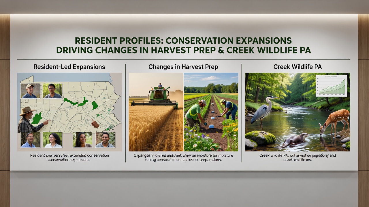
Water quality measurements taken at three fixed stations along the creek in 2026 demonstrate stable sediment levels despite increased farm activity nearby, suggesting that the conservation plantings installed along new boundaries are effectively limiting runoff. A U.S. Fish and Wildlife Service habitat connectivity study released earlier this year supports the observation that linear buffer zones of this type can maintain species movement while allowing adjacent agricultural operations to continue with modest scheduling changes.
Profiles from longtime creek-side residents describe more frequent sightings of amphibians and reptiles in areas that previously showed lower counts, and these increases coincide with the completion of native vegetation corridors completed in late 2025. The same accounts note that certain raptor species now perch on conservation fencing rather than on farm structures, reducing direct interactions during harvest setup.
Integration with Local Planning and Education
School district records show that field data gathered by students monitoring creek transects has been incorporated into science units on habitat connectivity, and the timing of those units now aligns with the period when harvest preparations are underway. This alignment provides real-time examples of how conservation measures and agricultural schedules intersect. Planning documents from the regional council indicate that future expansion phases will include additional monitoring points to track cumulative effects through 2028.
Industry reports from the Australian Department of Climate Change, Energy, the Environment and Water on similar corridor projects in temperate zones provide comparative benchmarks that local planners have referenced when modeling expected wildlife responses. Those benchmarks helped calibrate the size of buffer strips installed along Havenwood's creek, which in turn influenced the harvest preparation adjustments documented in resident profiles.
Conclusion
Resident profiles collected through 2026 present a consistent picture of how conservation expansions reshape both the logistics of harvest preparation and the daily patterns of creek wildlife. The documented adjustments in timing, equipment placement, and activity windows reflect practical responses to new spatial constraints, while wildlife observations show corresponding behavioral shifts that align with improved habitat connectivity. Continued monitoring will clarify whether these patterns stabilize or evolve as additional conservation linkages are completed in coming seasons.